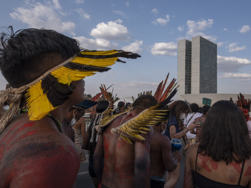
With pressure on their native land and traditional foods, agrochemicals polluting their rivers, and a high rate of chronic disease have left the Xavante people of Brazil’s Cerrado savanna vulnerable to the pandemic.
Category: Regions
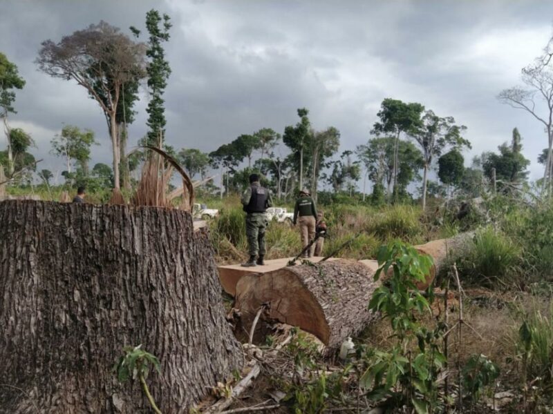
Most of the wood consumed in Brazil may come from illegal deforestation in the Amazon
A survey shows that failures in the control systems make it difficult to identify the origin of wood extracted from the Amazon, which increases the chances of criminal exploitation. Improving data transparency is essential to legalize production chains.
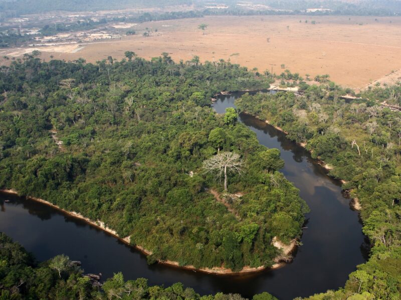
The deforestation of the largest continuous area of forest in the Amazon
In the municipality of Altamira, Pará, almost 6,500 hectares of public forests were cut down in 2020. One of the people responsible deforested 60% of this area and did not stop even after being fined by Ibama.
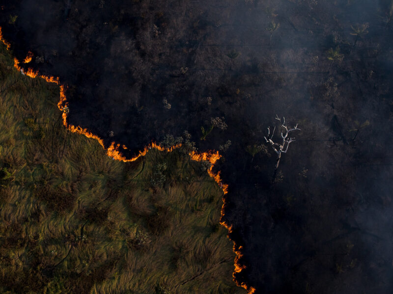
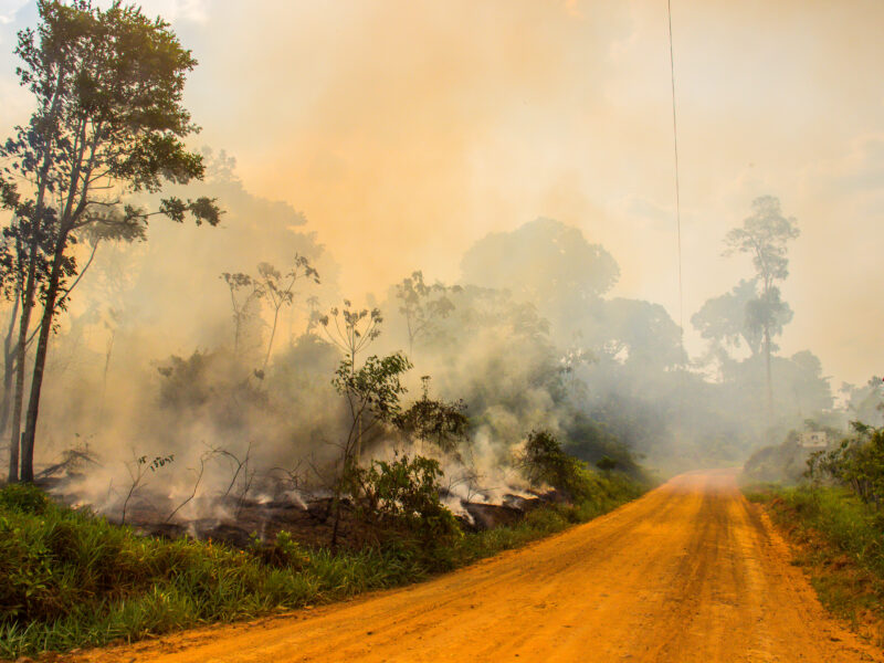
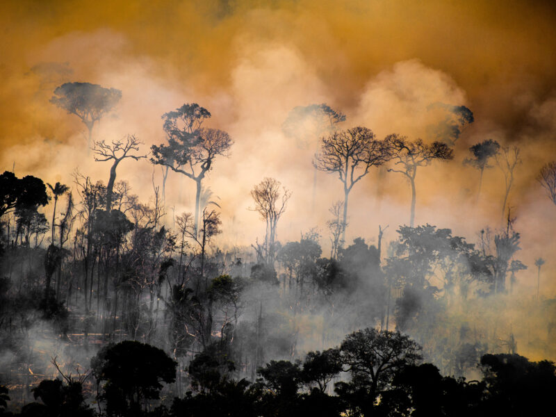
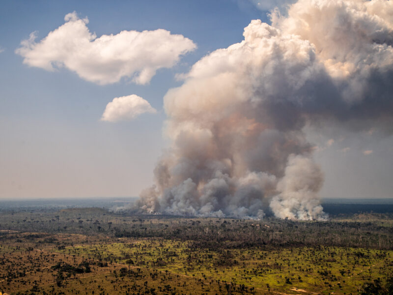
Fire follows deforestation in the Amazon
Studies by Brazilian scientists show that deforestation, not droughts, has been the main agent behind fires. Public policies and reinforcement of control agencies are solutions to stop the loss of native vegetation.
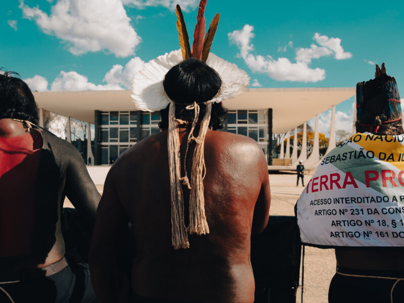
Ending the “Time Limit” Thesis Will Protect the Climate
Lawyer Luiz Eloy Terena, a Representative of the Coalition of Indigenous Peoples of Brazil (Apib) at the Brazilian Supreme Court hearing in question, comments on the importance of demarcating indigenous lands for the protection of the country’s natural resources. MapBiomas data shows that only 1.6% of Brazil’s deforestation occurred in Indigenous Lands over 36 years.
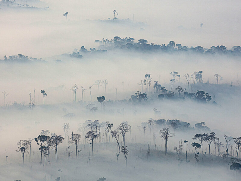
Overcast atmosphere in Acre
As well as the capital Rio Branco, Xapuri and other towns in the interior suffer from pollution above safe limits for human health
Pollution is one of the footprints in the chain of Amazon destruction
The most vulnerable municipalities are affected by various types of crime
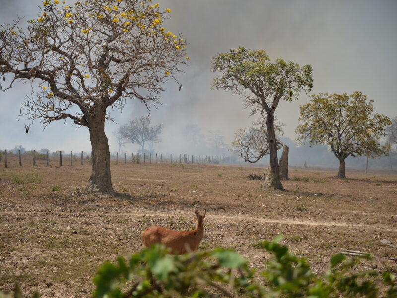
Social and environmental crises come together in Mato Grosso in a year of record burning in the Pantanal
In the rural area, the challenge for residents affected by the smoke is to get medical care
The victims of the geography of fire
The smoke from the fires and Covid sweeps from southern Amazonas to Acre
Invisible enemies: smoke from burnings worsens Covid-19 in the Amazon
Smoke from burnings worsens Covid-19 in the Amazon


