

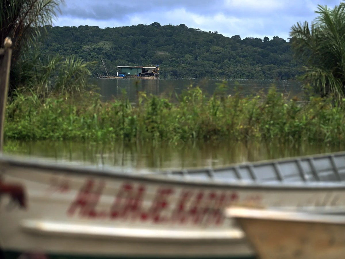


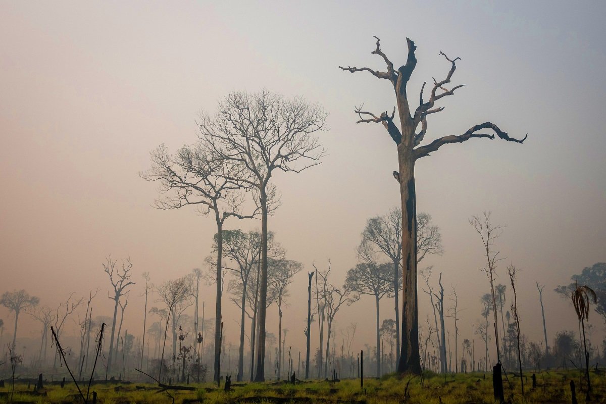
Every Last Drop
Fifty years of damage isn’t enough. A new race for oil is underway in the Amazon.


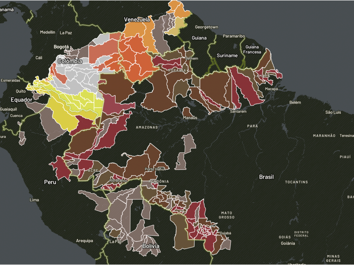
MAPS
Data Visualization and geojournalism for better understand the main issues concerning the Amazon

recent news
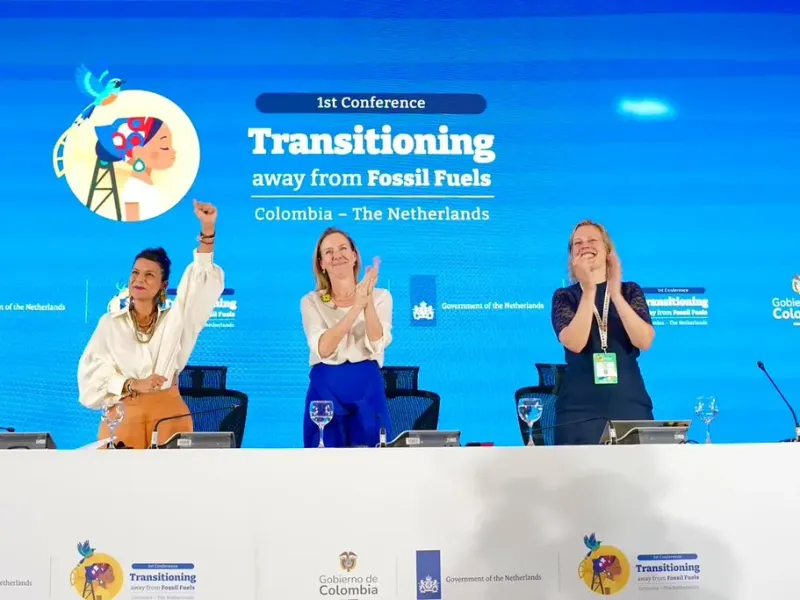
Santa Marta May Be a Game-Changing Moment
A critical mass of countries begins mapping a fossil fuel phaseout.
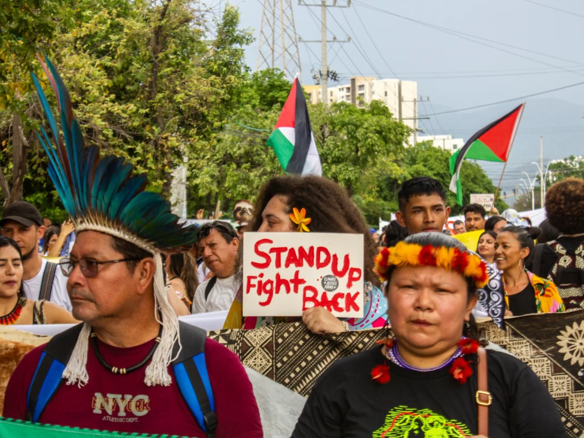
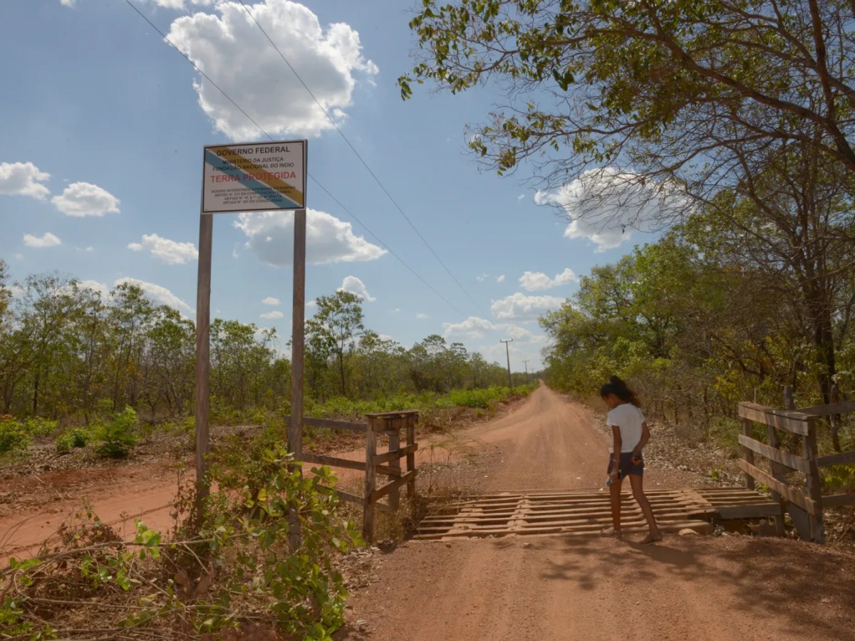
‘Cloaked colonialism’: Indigenous Peoples criticize just transition model that does not protect their territories
Representatives of Indigenous Peoples from different countries are asking that projects using critical minerals or related to the green economy, such as carbon credits, be based on the premise of not affecting Indigenous rights and their territories. Furthermore, they demand a leading role in conferences, not only when proposing solutions, but also when making decisions…

Scientist argues for the need to cancel fossil fuel contracts and says there is ‘no time’ for transitions at different paces
Part of the Global South, including Brazil, argues that developed countries should move away from fossil fuels before others. For Martí Orta from the University of Barcelona, there is no room for different national paces when phasing out oil, gas, and coal. Furthermore, the researcher states that the opening of new exploration projects ignores the…
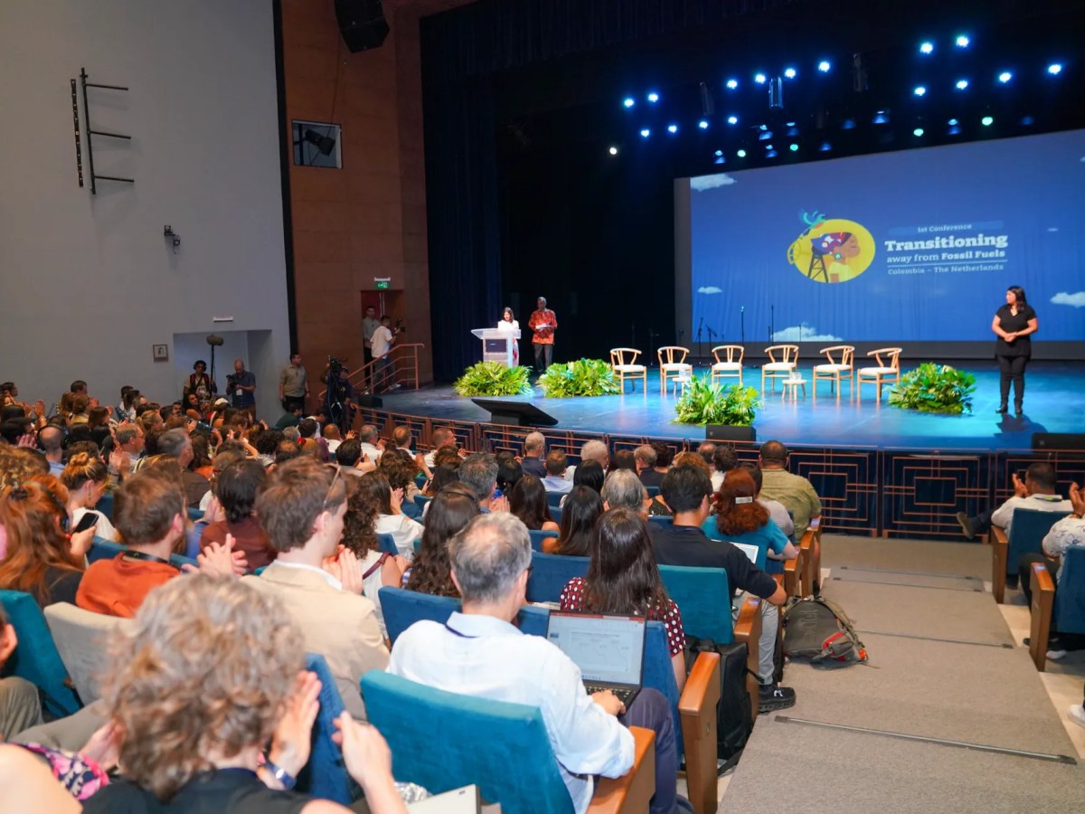
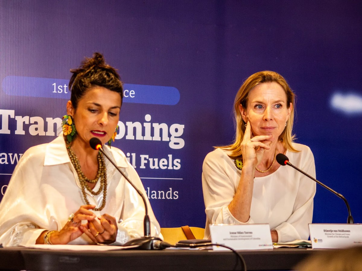
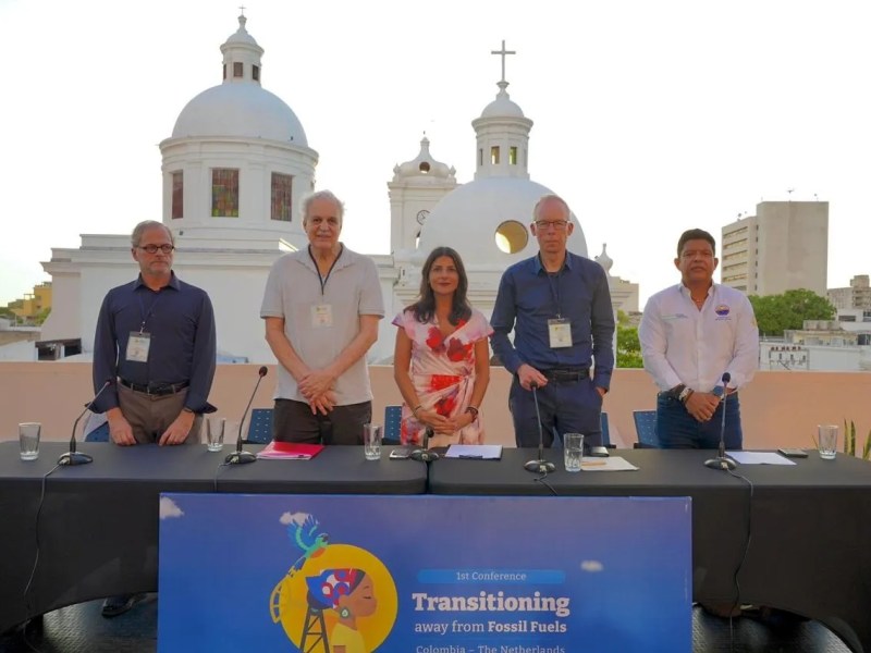
In Santa Marta, scientists show that overcoming oil is inevitable
Conference in Colombia considers scientific knowledge as a core factor in guiding nations towards a fossil fuel-free economy; the initiatives announced this week will inform a final agreement among political leaders and create a permanent forum to assist in the implementation of practical actions.
Wait, could this be a climate conference that actually works?
As the war with Iran exposes the risks of fossil fuels, the 1st International Conference on the Transition Away from Fossil Fuels brings together, in the Colombian city, a “coalition of the willing” seeking a global plan to phase out oil, gas, and coal.
Outside the COP dead end, a conference in Santa Marta tests a new path to move away from fossil fuels
A meeting in a Colombian city aims to contribute to a roadmap towards the end of oil, gas and coal, which was proposed at COP30 but should only be presented in November 2026. In addition, the country’s Minister of the Environment promises to discuss actions without the constraints of the oil industry lobby.
Conference in Colombia Could Mobilize an Economic Bloc Larger Than the US Against Fossil Fuels
If it advances, the initiative could reshape the global energy market and push investment toward clean sources — leaving petrostates and their billion-dollar reserves stranded.
Something went wrong. Please refresh the page and/or try again.


READ MORE IN SPANISH OR PORTUGUESE
InfoAmazonia provides timely news and reports of the endangered Amazon region. A network of organizations and journalists deliver updates from the nine countries of the forest. Vea la edición en Español or em Português.