English
Language
Português
Spanish
English
Type size
+
-
Share
Dark mode
Skip to content
What are you looking for?
Search for:
Search
Twitter
Instagram
Facebook
YouTube
PT
ES
EN
InfoAmazonia
Open Search
What are you looking for?
Search for:
Search
Menu
News
Maps
Projects
About us
About
Contact
Discovery
Menu
Open Search
Página inicial
»
Maps
Maps
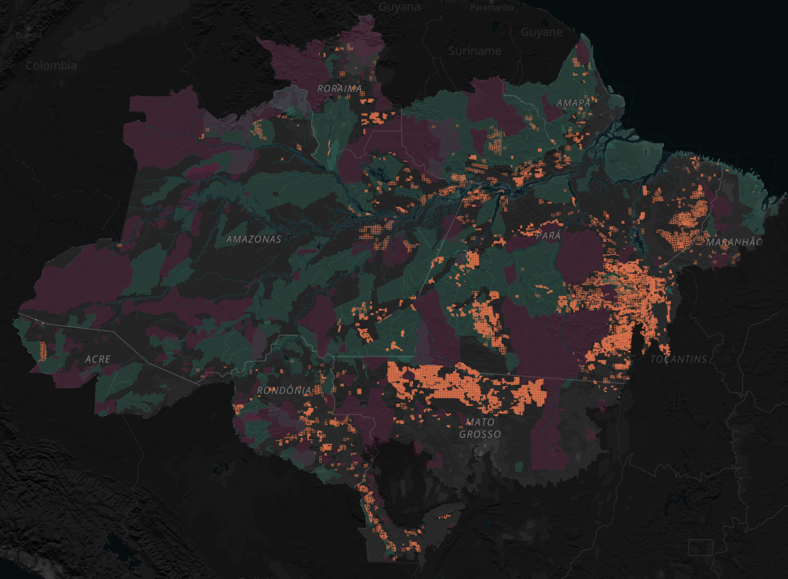
Minerals for energy transition in the Brazilian Amazon
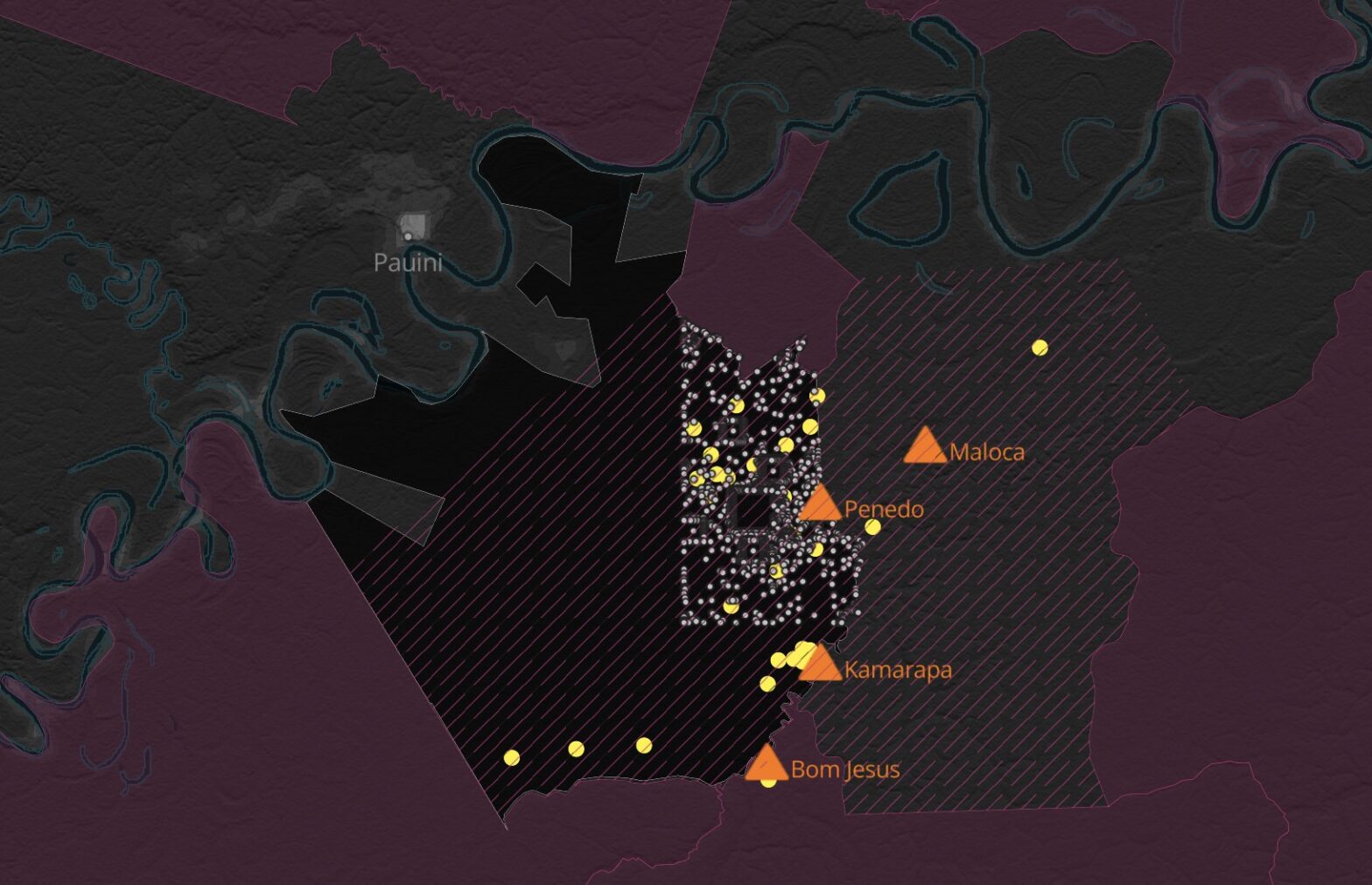
NFTs in the Baixo Seruini territory
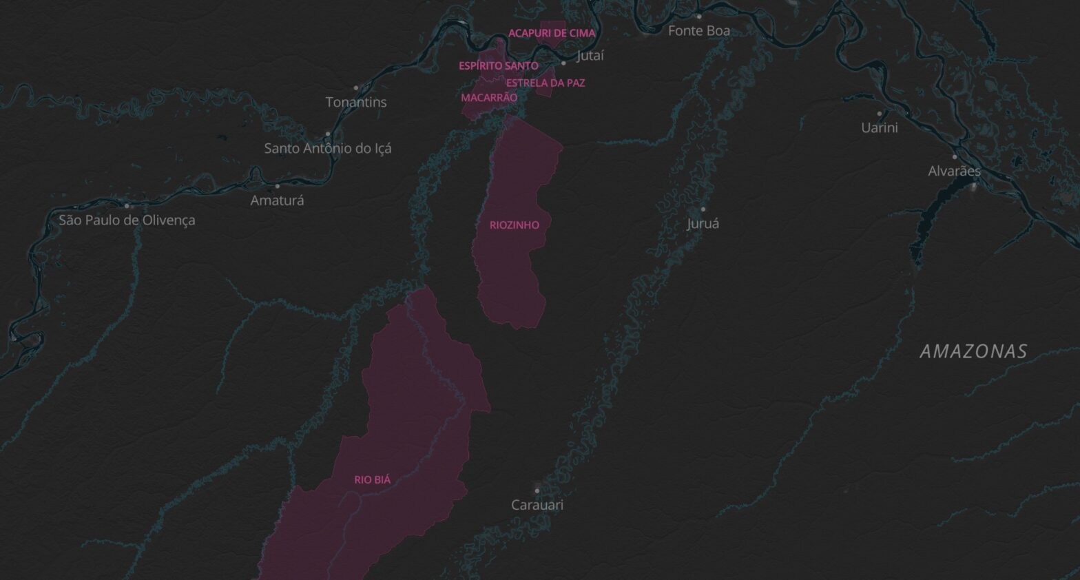
Indigenous territories in Alto Solimões with Concepto Carbono’s projects
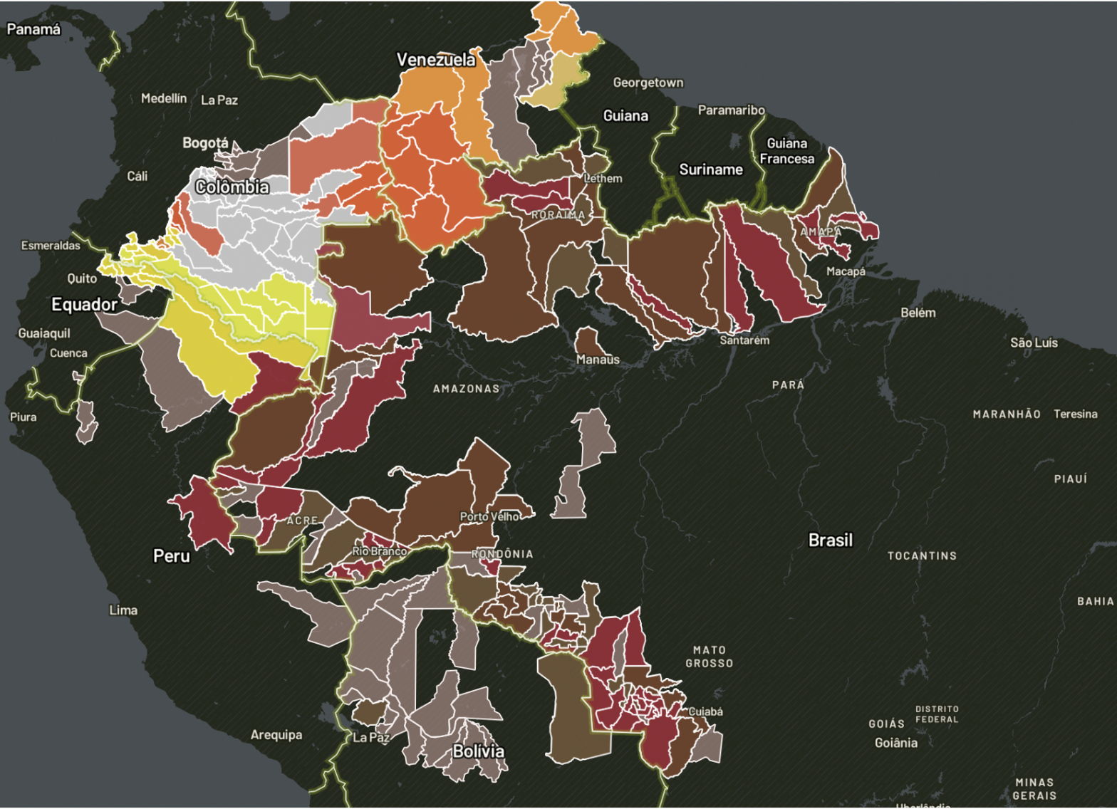
Amazon Underworld – Groups on the triple border
Amazon Underworld – Groups on the Venezuelan border
Amazon Underworld – Interactive Map “Armed Groups”
Posts navigation
1
2
3
…
5
Older posts