
Data alerts deforestation in the Legal Amazon, 2011 can be viewed in graphical and interactive map. View ratings for municipalities and operational Ibama bases.
Deter: data visualization, 2011
There are no comments yet. Leave a comment!
Related Posts

Saweto's daughter, from Peru, persists in her fight for justice
October 20, 2020
Diana Ríos Rengifo took on the defense of the Peruvian Amazon after the murder of her father, a well-known Asheninka leader in the fight against illegal loggers. The trees in Saweto, a community located near the Peruvian border with Brazil, are highly coveted on the market and are threatened by indiscriminate logging.
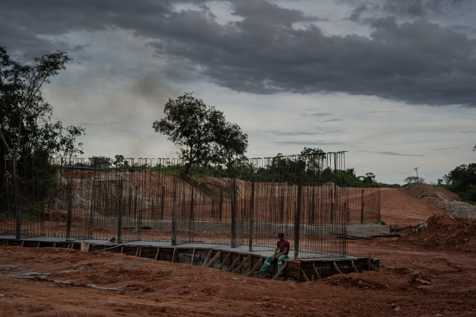
Amazon “soy belt” will feed global thirst for Brazil's commodities
May 4, 2021
In Humaitá, a town located on the banks of the Madeira River and on the crossroads of two Amazonian major highways, a local infrastructure project is touted to bring growth and progress. But it fuels fears of deforestation as the agricultural frontier advances.
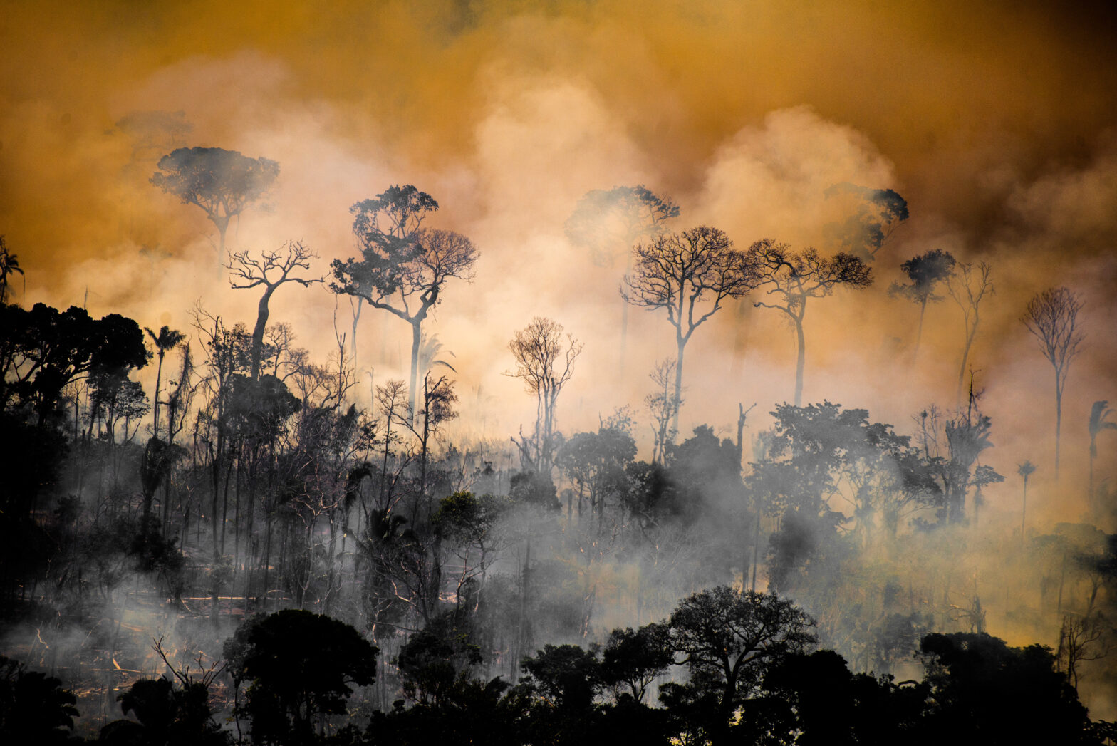
Pollution is one of the footprints in the chain of Amazon destruction
August 25, 2021
The most vulnerable municipalities are affected by various types of crime