
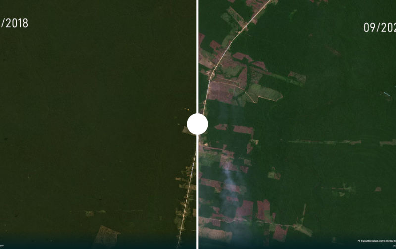
Deforestation in the Amazon has spiraled out of control during Jair Bolsonaro’s as president. InfoAmazonia and PlenaMata have illustrated the destruction using satellite imagery.
Category: maps
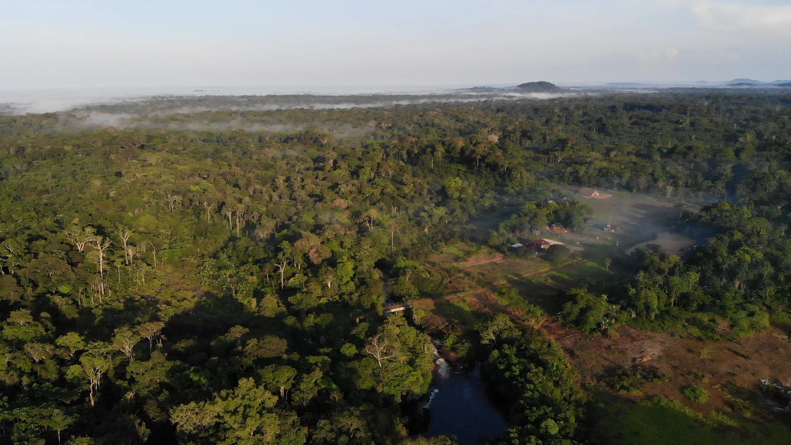
Defenders of the sacred hills
In Vaupés, a department in the Colombian Amazon, indigenous peoples cling to their beliefs to protect themselves from mining. A concession for the exploitation of coltan angers three communities: the leaders are threatened and their right to prior consultation has been violated.