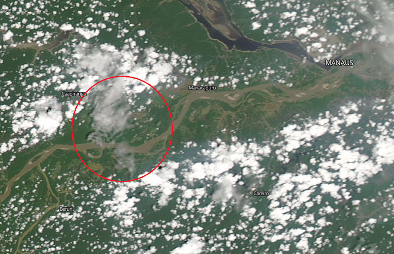
Landsat system images, from NASA, show you how the skyline of Manaus went gray in the last days of the month, at the peak of the hottest season in the northern region of Brazil.[:]
Category: type
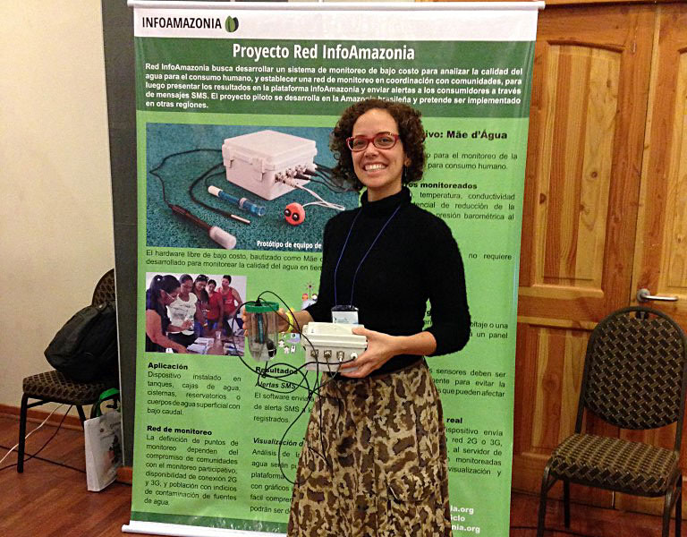
InfoAmazonia Network participated in the Latin American Meeting of Community Water Management
In September, the InfoAmazonia Network participated in the VI Latin American Meeting of Community Water Management in Chile to show the water monitoring project and his Mãe d´Água sensor.
Highest in 6 years, the number of deforestation alerts in Brazil grows 68% in 2015
5.121 km² of forests were destroyed, compared to 3.036 km² devastated from August of 2013 to July of 2014. It is the largest deforestation verified by Deter in the past six years.
Why did the Brazilian government present a doubled rate of deforestation?
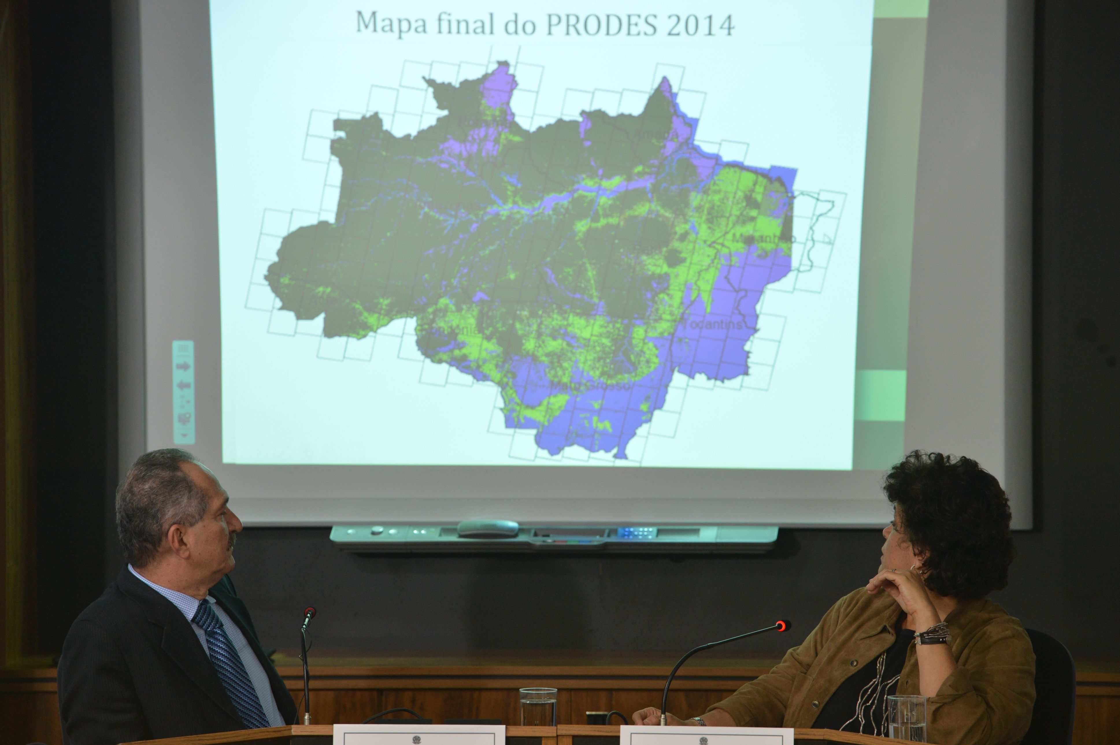
On August 14, the National Institute for Space Research (INPE) presented the official rate of deforestation in the Brazilian Amazon between August 2013 and July 2014. This result is 3% higher than the number announced in November 2014.[:]
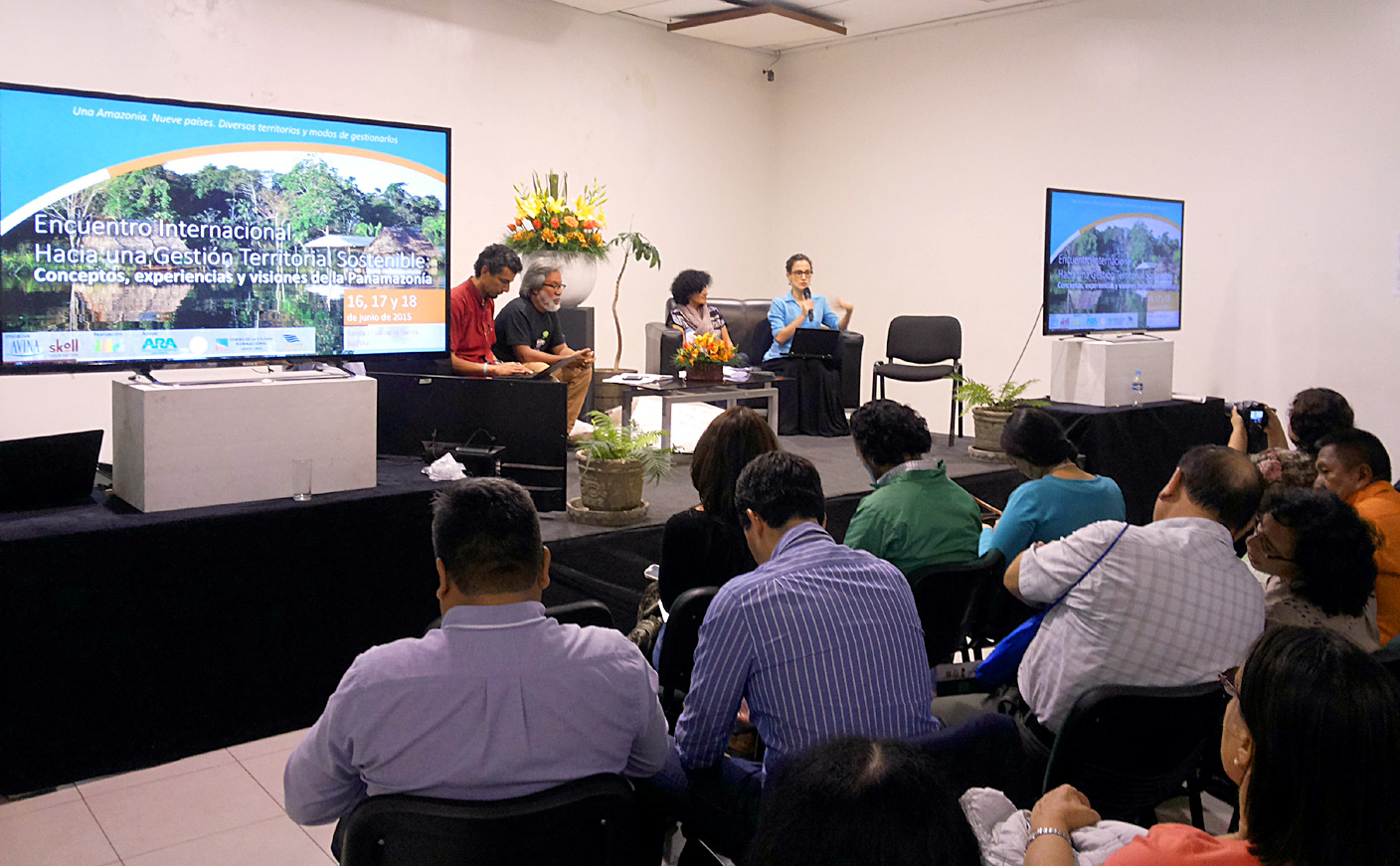
Land management in the Panamazon: processes towards sustainability
Land management experiences in Panamazônia and Chaco were presented in a meeting in Bolivia. Civil society can influence public policies and demand sustainability, say experts.[:]
Through May 2015, there has already been 90% of the 2014 amount of deforestation in the Amazon
This year – which started in August 2014 and runs until July 2015 – has already seen 2 765 km² of land indicated by Deter deforestation alerts, INPE’s Real Time Detection System of Change in Forest Cover.[:]
Raising awareness of the Amazon with songs in Kukama language
In the Peruvian Amazon, a teacher tries to rescue the culture and the use of Kukama language , and now he does it through music videos.[:]
Mato Grosso contains seven of the ten cities that were most deforested in March
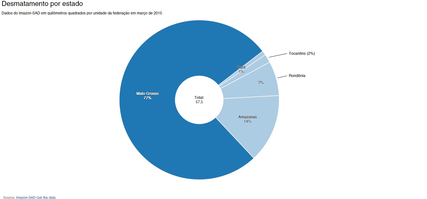
Responsible for three-quarters of all deforestation recorded in March this year by the Institute of Man and Environment in the Amazon (Imazon), Mato Grosso dominated the list of cities that were the most devastated forests in the past month: seven of the ten highest in deforestation are in the state.
Researcher uses drones to study the planet’s most biodiverse rainforest
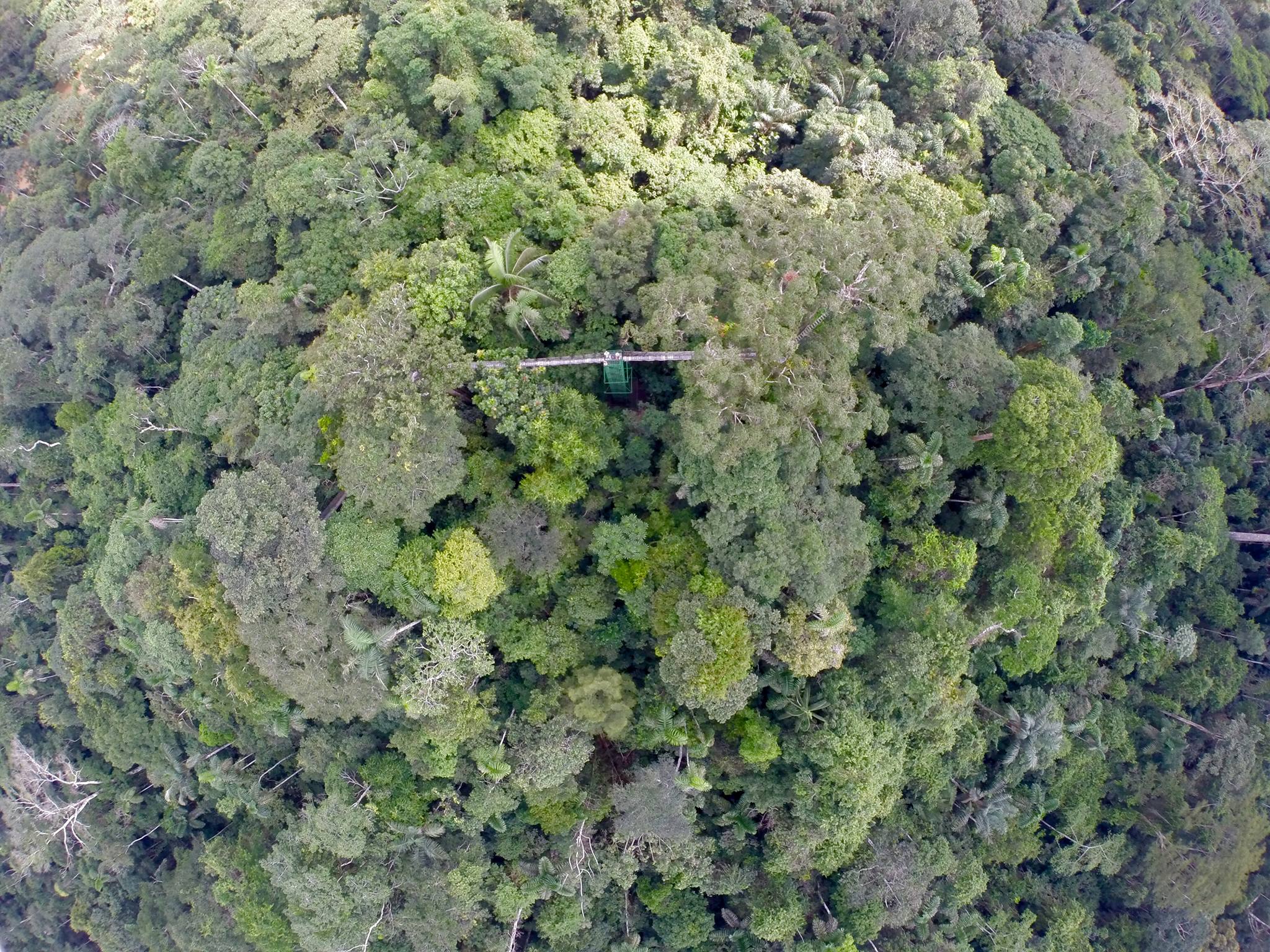
Tiputini Biodiversity Station uses drones to study and monitor biodiversity in the Yasuni Biosphere Reserve.[:]
InfoAmazonia carry out workshops with communities in Tapajós River region
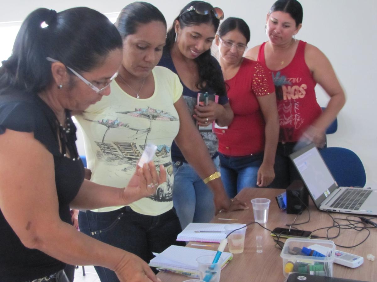
Rede InfoAmazonia project began operations for monitoring of water quality with three workshops with riverside communities in two cities in the Brazilian Amazon. The next step is to install inexpensive sensors created by the project.


