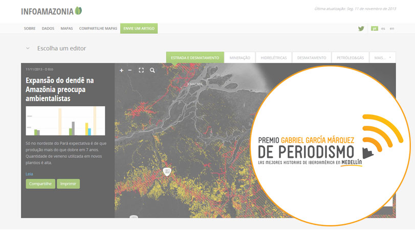
Project of interactive map of ((o))eco is among the first in the category innovation in award from Fundación Nuevo Periodismo.
Related Posts
Indigenous lands in Brazil seen from space
August 5, 2013
Meet some of the indigenous territories in Brazil and see interactive maps showing deforestation in these regions.
What are the countries most affected by deforestation?
November 15, 2013
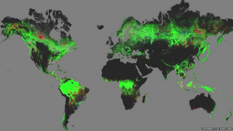
A new high-resolution map created with the help of Google Earth shows the current status of forests in the world.
New study suggests that mercury contamination is widespread among residents of the Amazon
March 17, 2022
Although living 186 miles away from the area along the Tapajós River where illegal mining is concentrated, Santarém's inhabitants are at high risk of mercury poisoning.


