
In an aircraft of Carnegie airborne observatory three-dimensional mapping of the Peruvian Amazon is carried out to know the level of deforestation and impacts of land use change, said the Ministry of Environment of Peru.
Andina: 3D mapping of the Amazon is made from airborne observatory
There are no comments yet. Leave a comment!
Related Posts
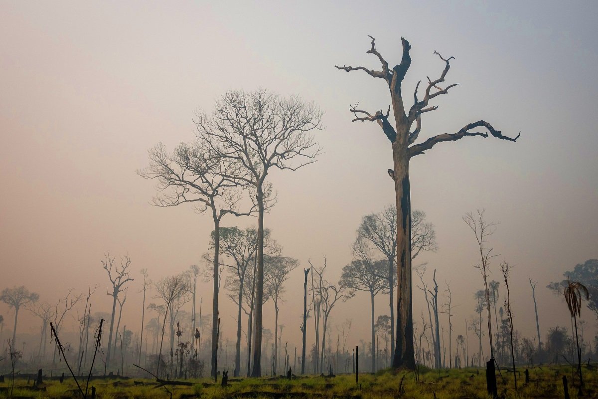
Deforestation in the Amazon: past, present and future
March 21, 2023
According to a new study from RAISG, in just five years, the Amazon could lose almost half of what it lost in the past two decades.

The challenges Lula will face to eradicate illegal deforestation in Amazonia by 2028
November 11, 2022
Specialists focus on the difficulties the new 2023 administration faces to reach the goal promised by the Bolsonaro administration at COP26 last year. Escalating deforestation rates could keep Brazil from carrying out its promise.

Colombian and Ecuadorian criminal groups expand their violent influence throughout the Amazon
June 12, 2024
By Plan V* The Comandos de la Frontera, a Colombian armed group that also operates in northern Ecuador, and the Ecuadorian gang Los Choneros have imposed a regime of terror in the Amazonian provinces of Sucumbíos and Orellana, although the alliances between them are unclear. One of the illegal activities that has grown the most […]