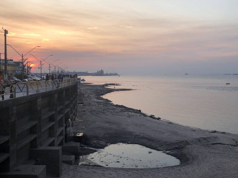
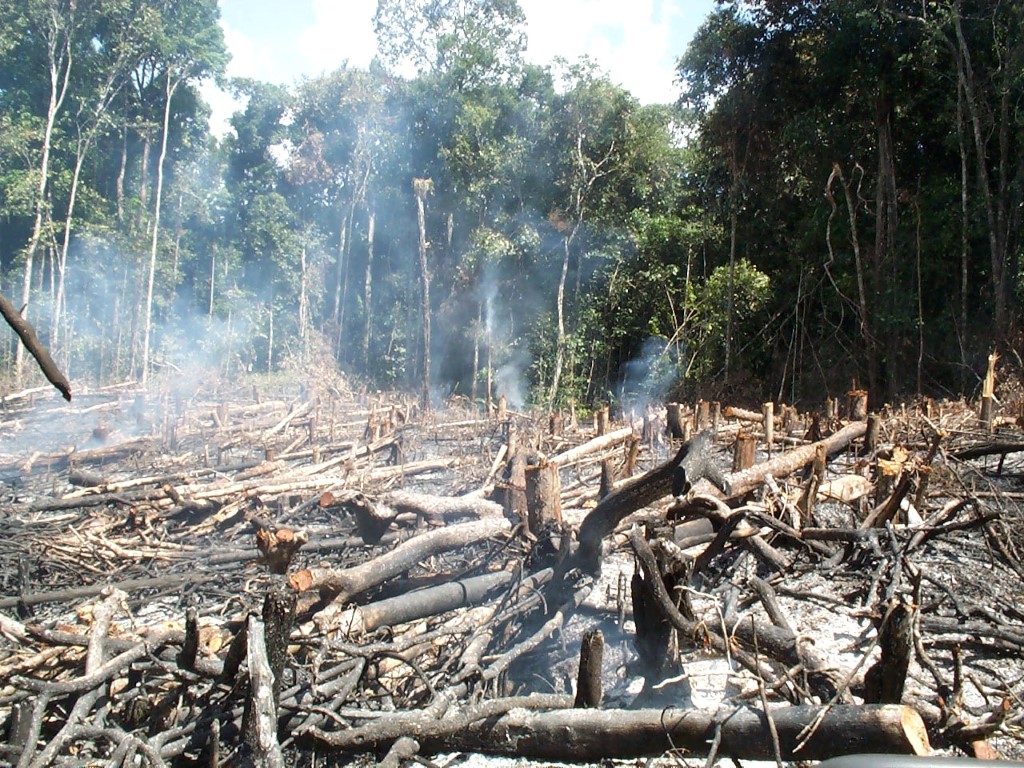
On Thursday, October 27, there was a scent of smoke in the air. On the 28th, a bluish haze thickened, and by late afternoon it had turned gray and heavy. The reddish sunset left no doubt: We were enveloped in pure wildfire smoke. Our eyes began to sting, our noses ran. Our clothes and hair […]
Category: opinion
Want to help contain the Amazon crisis? Here some ways
People from all over offering to volunteer and donate to local actions in the Brazilian forest. If you want to help, this is an initial list of NGOs
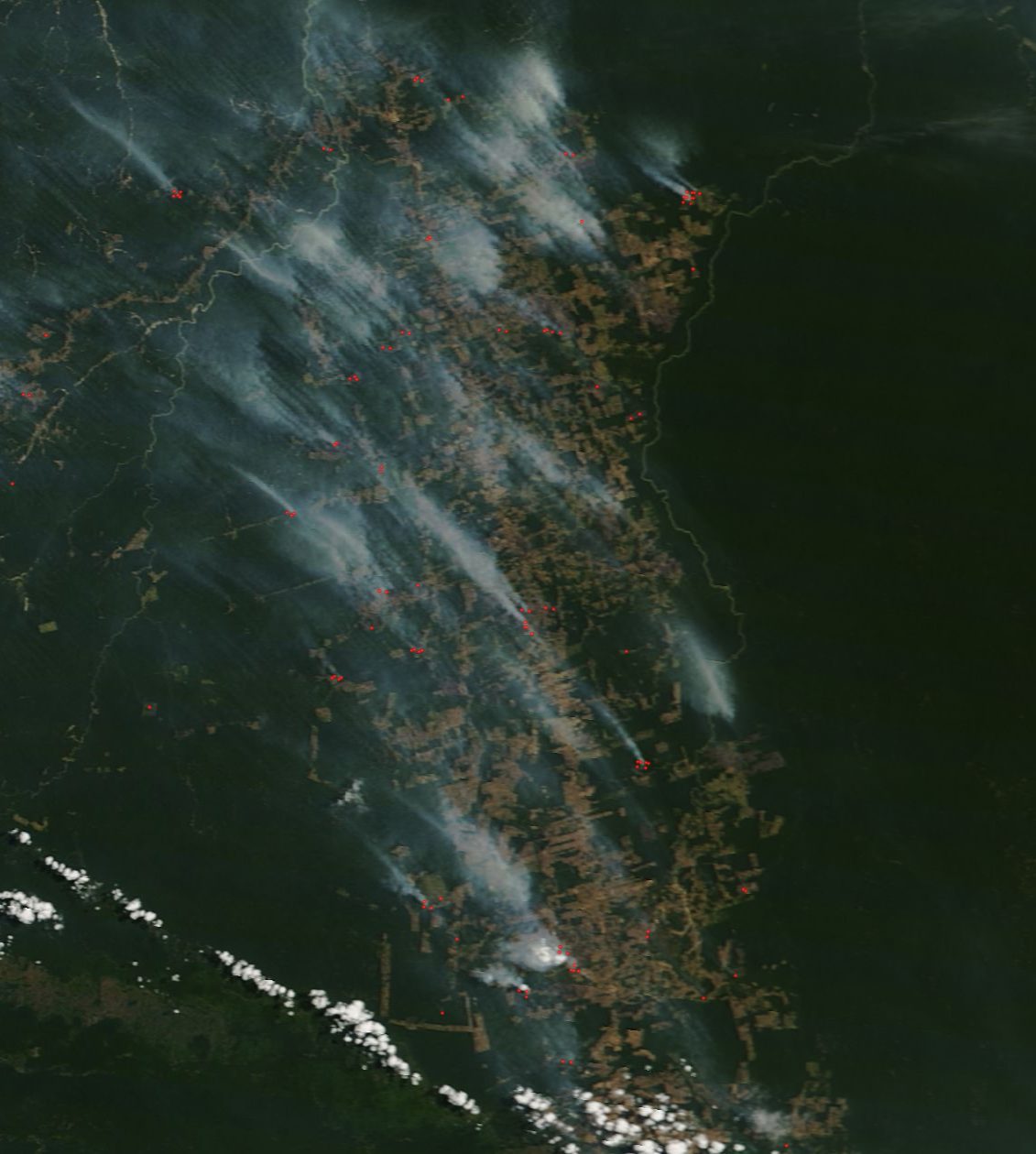
Com seca, queimadas avançam pelo Brasil
[:en]Mapa com a última contagem feita pelo sensor VIIRS, que possui maior resolução e revelou mais de 6000 focos de calor no dia 26 de julho
Eyes on the forests: an Interview with Dr. Matthew Hansen, University of Maryland
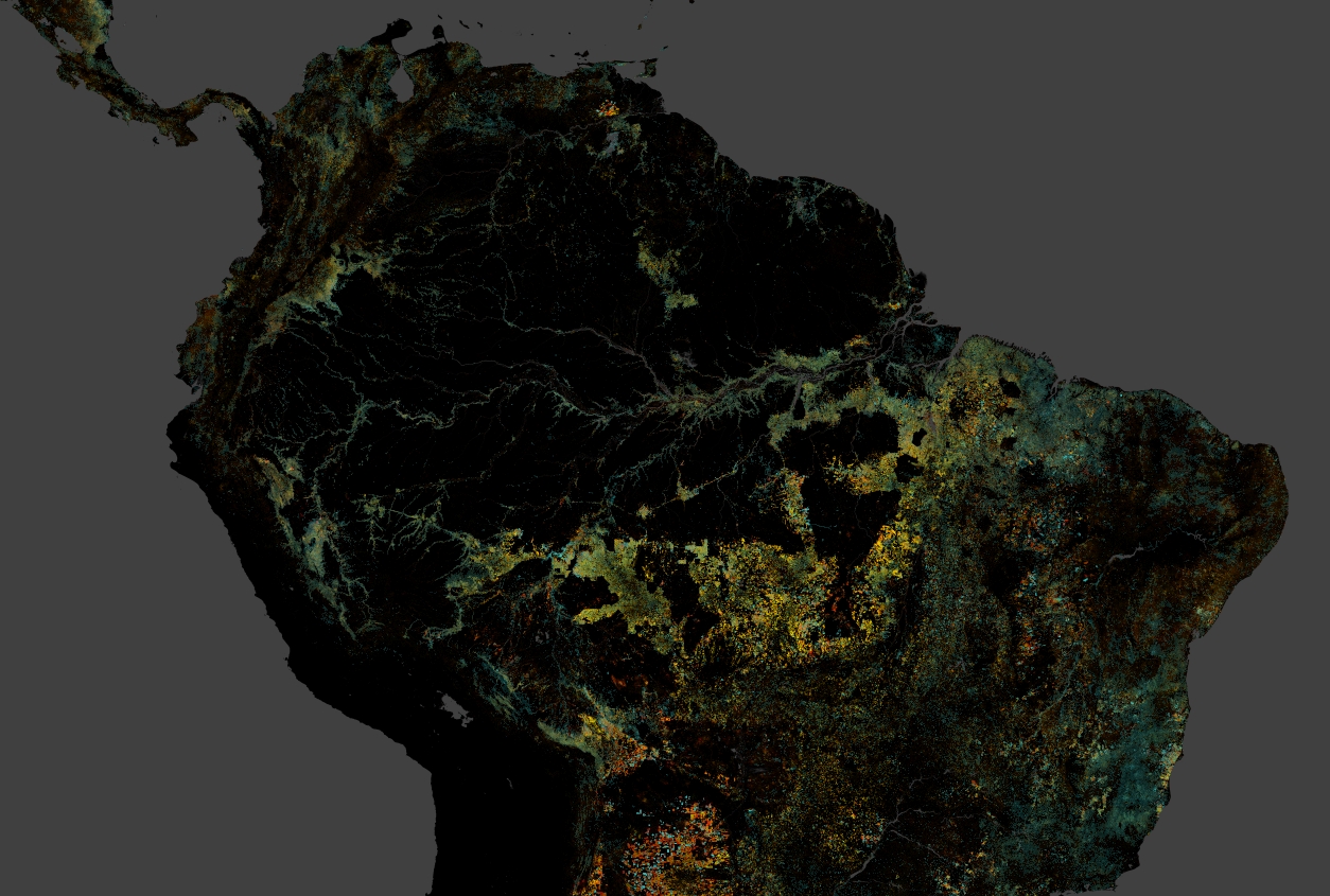
Monitoring the state of the world’s forests is a monumental task with challenges in data collection, interpretation and display. The Global Forest Change (GFC), a project developed by Professor Matthew Hansen of the University of Maryland´s Geography Department, tackles this issue by using algorithms to distinguish forest cover and change in satellite imagery. From this […]
InfoAmazonia e UFOPA firmam parceria para pesquisar uso de sensores de qualidade d’água
A Universidade Federal do Oeste do Pará (UFOPA) ampliou e consolidou a parceria com o InfoAmazonia, que já há dois anos trabalha no monitoramento comunitário e de baixo custo da qualidade da água na região amazônica
A Tipping Point For Humanity?
The negotiations at COP21 in Paris have not just been about climate change, but about our ability to act as a community of nations.
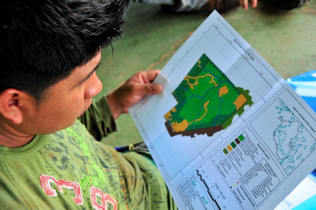
To defend their territory, indigenous people receive training from Google
Indigenous and traditional communities of the Brazilian Amazon will be trained by Google Earth to use new digital technologies for cultural zoning and mapping of their territory in the search for their conservation.[:]
More than half of tree species of the Amazon at risk of extinction
Research compares information from research plots along the Amazon with maps of current and projected deforestation to estimate how many species have disappeared and where.[:]
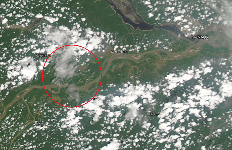
Smoke from October fires in Manaus was seen from space
Landsat system images, from NASA, show you how the skyline of Manaus went gray in the last days of the month, at the peak of the hottest season in the northern region of Brazil.[:]
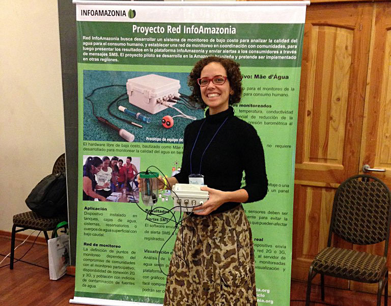
InfoAmazonia Network participated in the Latin American Meeting of Community Water Management
In September, the InfoAmazonia Network participated in the VI Latin American Meeting of Community Water Management in Chile to show the water monitoring project and his Mãe d´Água sensor.


