
Research compares information from research plots along the Amazon with maps of current and projected deforestation to estimate how many species have disappeared and where.[:]
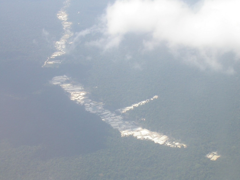
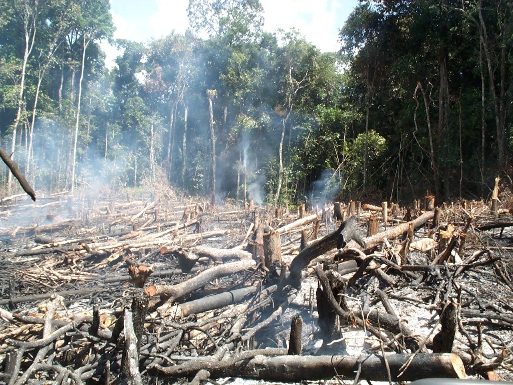
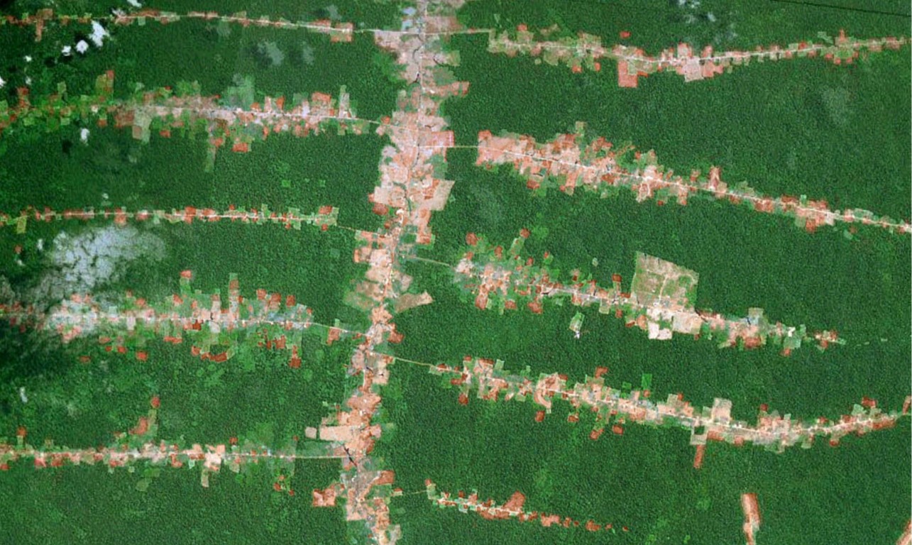
Research compares information from research plots along the Amazon with maps of current and projected deforestation to estimate how many species have disappeared and where.[:]