
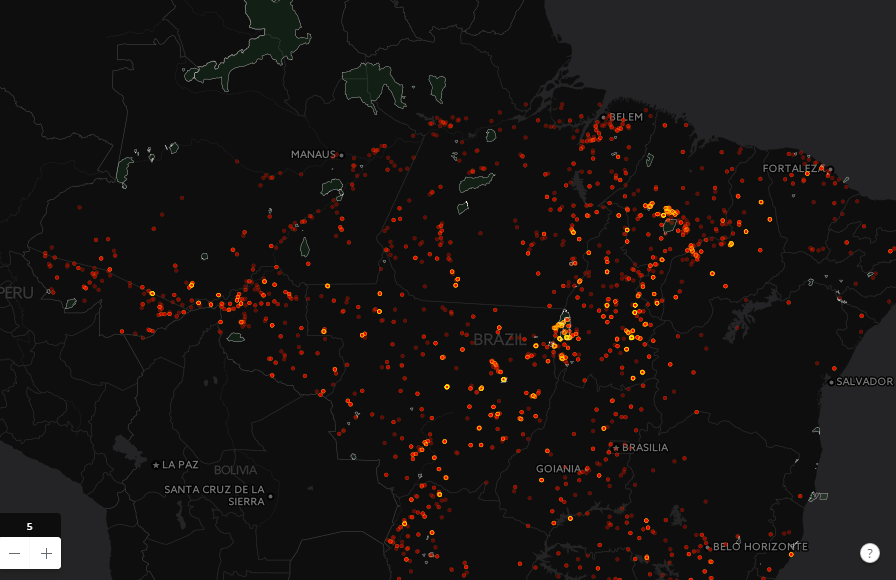
The number of fires, as always, rises this season. InfoAmazonia shows a map with the last count made by VIIRS satellite sensor, which has higher resolution and revealed more than 6,000 hotspots on 26 July.[:]
Tag: satellite
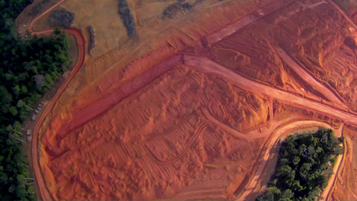
Mapping Change in the Amazon: How Satellite Images are Halting Deforestation
Imazon is collaborating with the Brazilian state of Pará to combine real time satellite imagery and advanced mapping techniques to protect the rainforest.