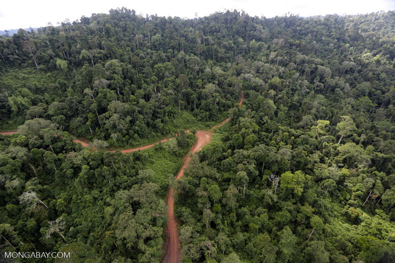
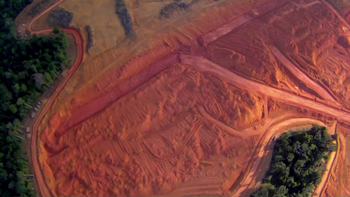
A new deforestation alert system lets users know about forest changes in just a week.
Tag: remote sensing
Mapping Change in the Amazon: How Satellite Images are Halting Deforestation
Imazon is collaborating with the Brazilian state of Pará to combine real time satellite imagery and advanced mapping techniques to protect the rainforest.


