
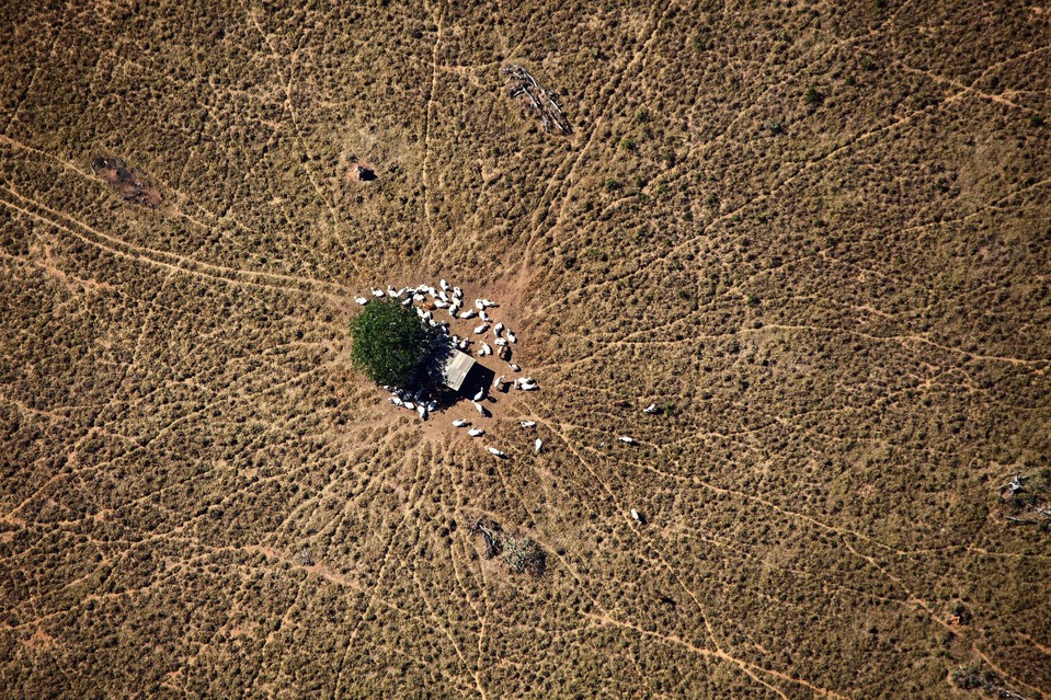
Mr. Baleia has sought to dismantle the idyllic, exotic image of the Amazon, where ”nature was untouched and people were living in harmony,” replacing it with graphic, aerial images of an eroded paradise.
Tag: images
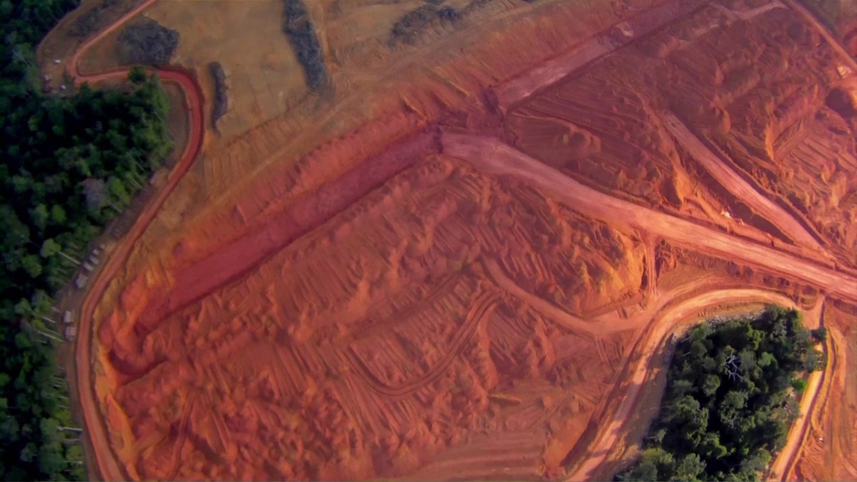
Mapping Change in the Amazon: How Satellite Images are Halting Deforestation
Imazon is collaborating with the Brazilian state of Pará to combine real time satellite imagery and advanced mapping techniques to protect the rainforest.