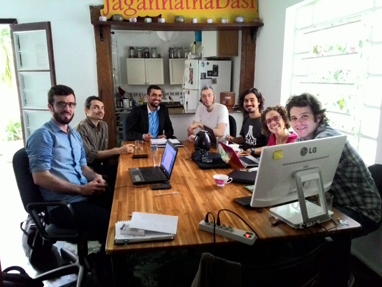
Researchers at the Federal University of Western Pará (UFOPA), Brazil, join InfoAmazonia to investigate applications of water quality sensor Mãe d’Água in rural and urban areas of Santarém, state of Pará, in the Amazon.
InfoAmazonia
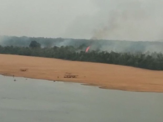
Map of fires in Roraima: Number of hot spots broke record
InfoAmazonia map updated in real time with data from NASA reveals the concentration of heat sources in the State of Roraima, which borders Venezuela and Guyana
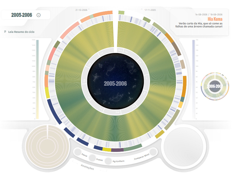
At UN Summit, indigenous launch calendar with climate cycles
Indigenous from Tiquié River, in Brazilian state of Amazonas, presented a research that identifies cycles of fishing, hunting and crops. The cycles are related to other factors such as the water cycle and astronomical constellations.
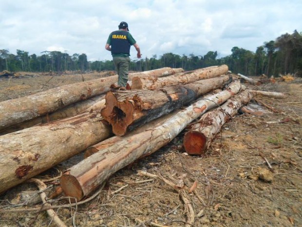
In Brazil deforestation in the Amazon is growing still with economic recession
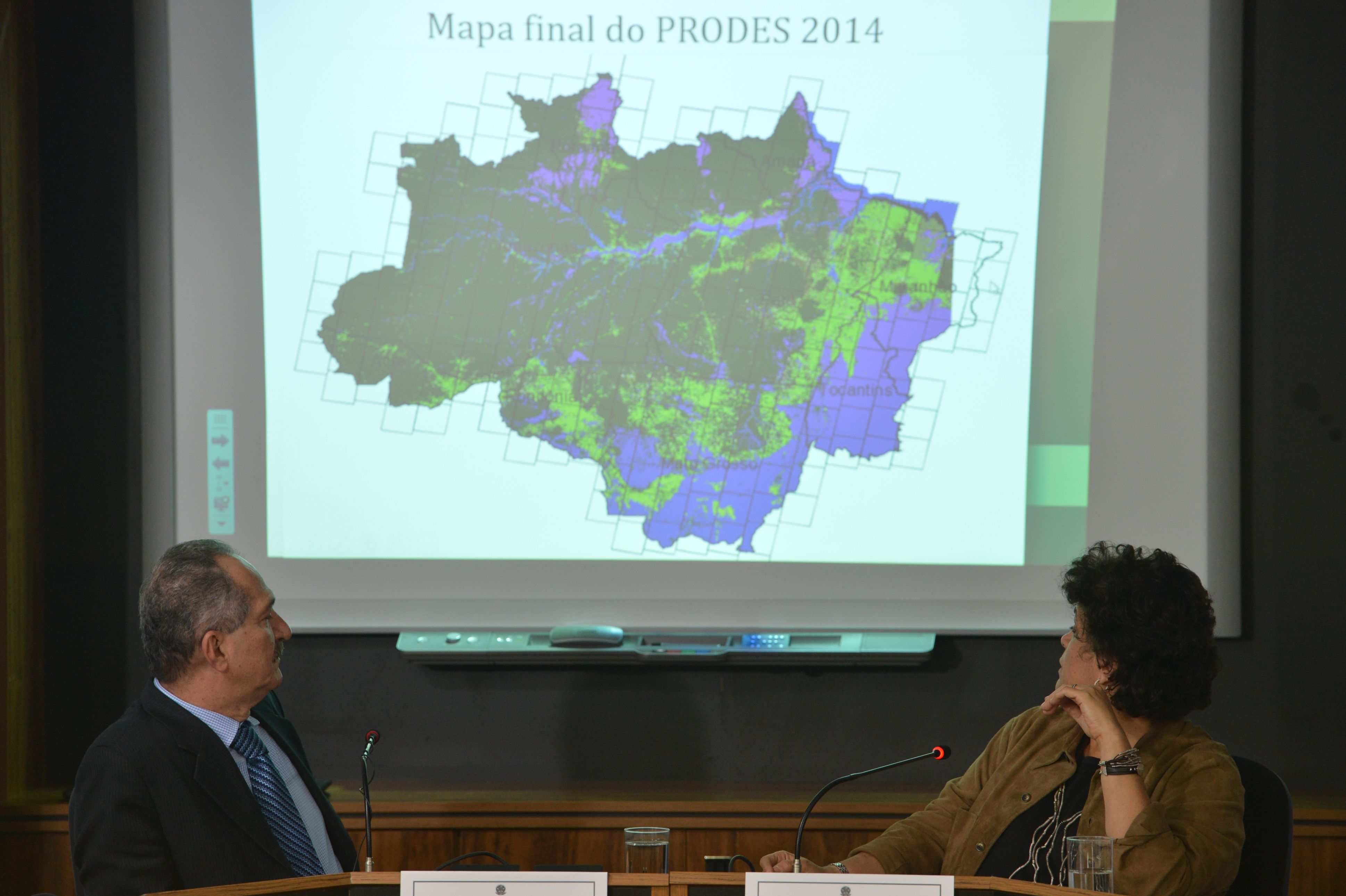
Data compiled by the National Institute for Space Research (INPE), shown clearcutting of forests in the Amazonian states rose by 16% between August 2014 and July 2015. The total of deleted forests is 5831 km2.
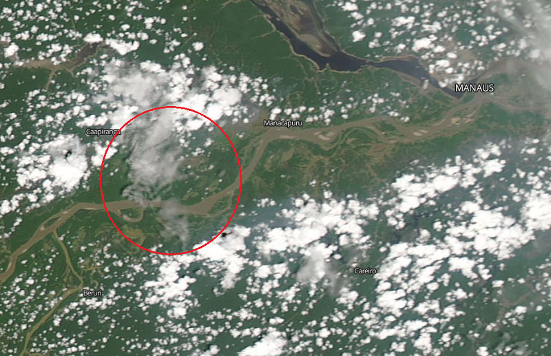
Smoke from fires of October in Manaus was seen from space
Landsat system images, from NASA, let you see how the skyline of Manaus went gray in the last days of the month, at the peak of the hottest season in the northern region of Brazil.
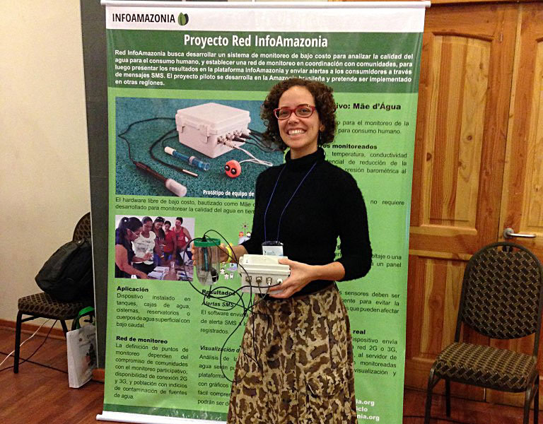
InfoAmazonia Network participated of Latin American Meeting of Water Management
In September, the InfoAmazonia Network participated in the VI Latin American Meeting of Community Water Management in Chile to show the water monitoring project and his Mãe d´Água sensor.
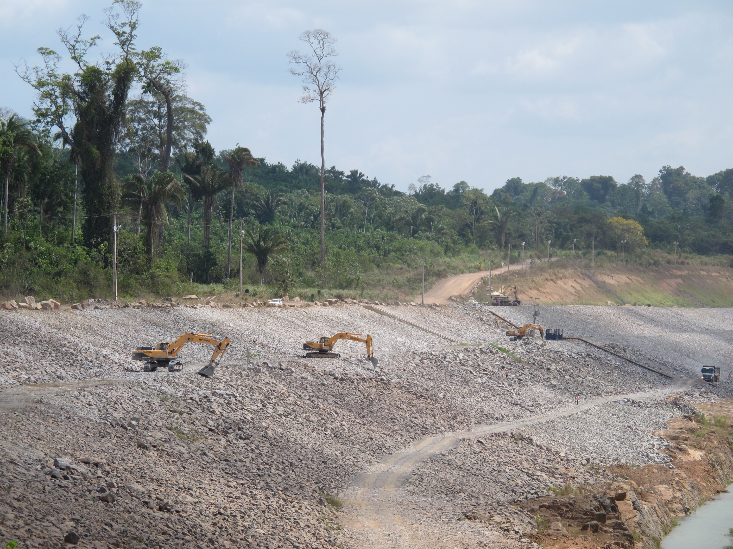
Almost completed, Belo Monte will change the pulse of the waters of the Xingu River
If Brazilian government gives the operating license to the hydroelectric and the 11 dam gates are closed, there will be 80% less water in Volta Grande. The natural cycle of ebbs and flows will no longer be the same.
Higher in 6 years, number of alerts for deforestation in Brazil grows 68% in 2015
5.121 km² of forests were destroyed, compared to 3.036 km² devastated from August of 2013 to July of 2014. It is the largest deforestation verified by Deter in the past six years.
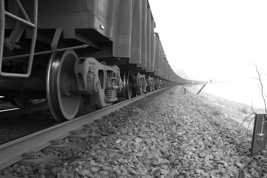
A day following the tracks of the Brazilian company Vale
Reflections on a trip to the southeast of Pará State, Brazil, in the wake of multiple disintegrations committed by the largest mining company in the world.
Why the Brazilian government published twice the rate of deforestation?
On August 14, the National Institute for Space Research (INPE) presented the official rate of deforestation in the Brazilian Amazon between August 2013 and July 2014. This result is 3% higher than the number announced in November 2014.


