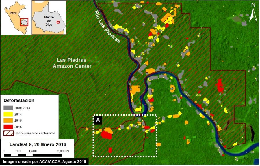
GLAD warning system identifies areas of forest loss analyzing Landsat satellite images (30 m resolution) weekly.
What are you looking for?
What are you looking for?
Página inicial » satellite images

GLAD warning system identifies areas of forest loss analyzing Landsat satellite images (30 m resolution) weekly.
By visiting this site, you agree to the use of cookies, which are designed to improve your experience and are used for the purpose of analytics and personalization. To find out more, please read our Cookies policy. You can change the settings also.