InfoAmazonia’s deeply contextualized maps and reports aim to educate and involve the public in today’s pressing environmental issues.
Tag: InfoAmazonia
Sensor network will monitor water quality in communities in the Amazon
In 2015, our team will release InfoAmazonia Network, an environmental monitoring sensor system of low cost that will be able to measure basic parameters of water quality and send alerts to consumers.
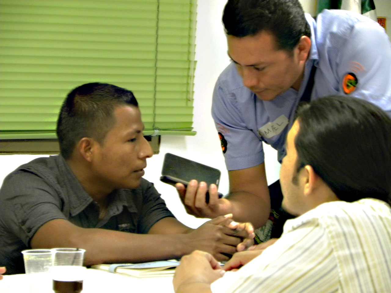
Citizen journalism direct from the Colombian Amazon
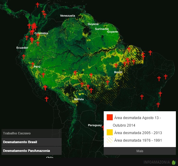
The department of Caquetá, in the Colombian Amazon, goes through enormous changes. Its western part, where the Amazon rainforest region moves on the slopes of the Andes Mountains, became the main focus of deforestation in Colombia in the last decade.
Hackers in Brazil come together to monitor water quality
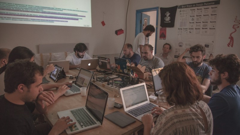
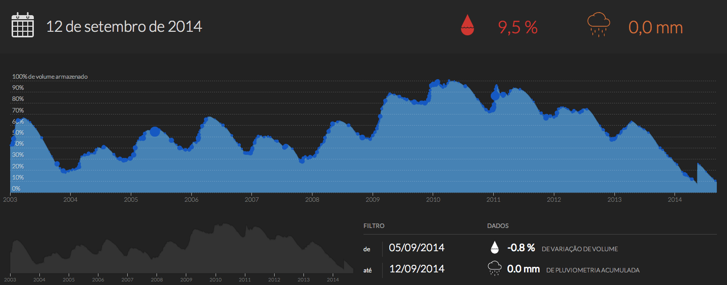
Concerned about the current water crisis in Brazil, professionals from various disciplines have gathered at the event “Hackatona: data and sensors to measure water quality,” sponsored by the InfoAmazonia Network, data and mapping platform focused on the largest rainforest in the world.
Motherboard: InfoAmazonia want to monitor water quality in th north of Brazil
The idea is to bring information to communities about the water they consume. A device performs measurements at refueling points such as rivers, and sends them to a central that may disclose, on a website or via SMS, the quality of water.
La Región: Amazon research institute will use InfoAmazonia to disseminate studies
The director of the Bioinfo Program, of the Research Institute of the Peruvian Amazon (IIAP in Spanish), Luis Campos Baca, said the construction of networks like this will allow disseminate the knowledge generated by Amazonian institutions.
InfoAmazonia Ciudadano: Water and Citizenship in the Amazon
In the Amazon, not lack water. However, the management of water resources in the region, often divorced from social participation, threatens sources of survival of its inhabitants and dozens of species.
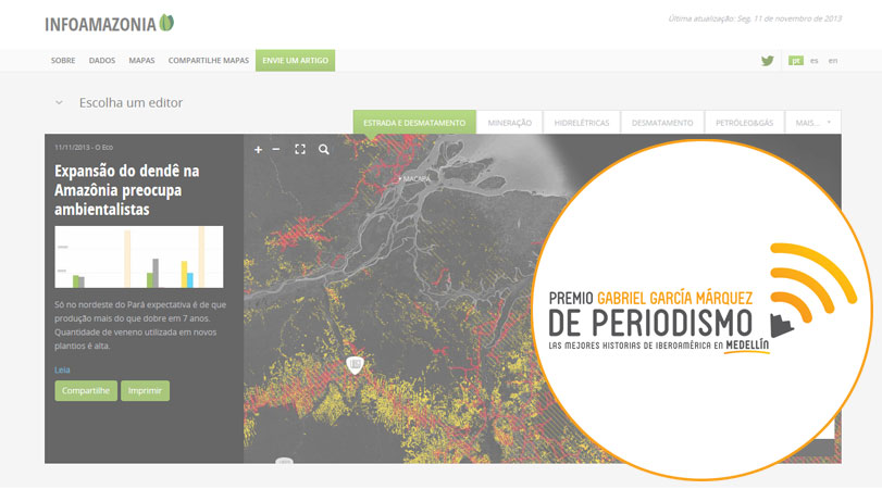
Infoamazonia is a finalist in the Garcia Marquez Prize
Project of interactive map of ((o))eco is among the first in the category innovation in award from Fundación Nuevo Periodismo.
Indigenous lands in Brazil seen from space
Meet some of the indigenous territories in Brazil and see interactive maps showing deforestation in these regions.
((o))eco facilitates distribution interactive maps of the Amazon
InfoAmazonia project, interactive maps tool, has just launched a new feature that aims to facilitate the distribution of maps and news about the largest rainforest in the world.


