Amazon Underworld


highlights

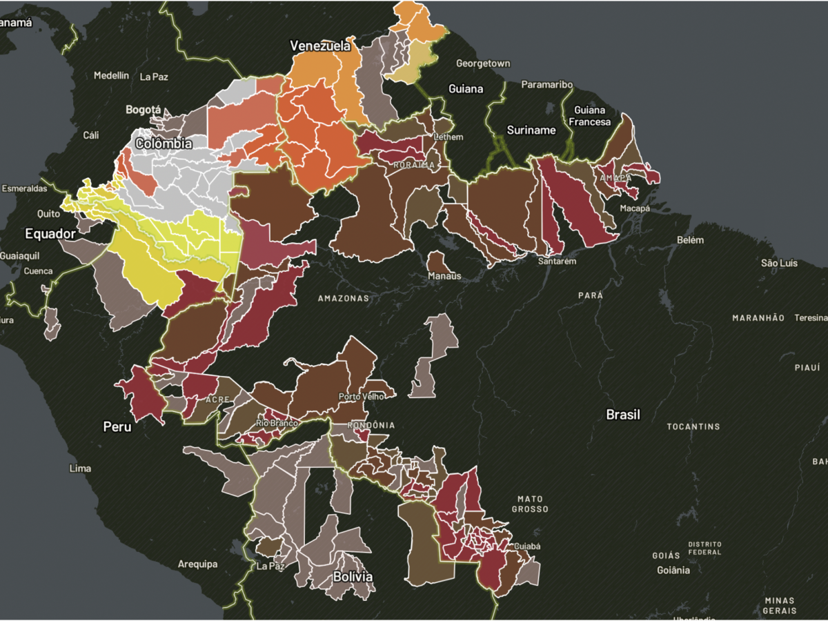
MAPS
Data Visualization and geojournalism for better understand the main issues concerning the Amazon

news
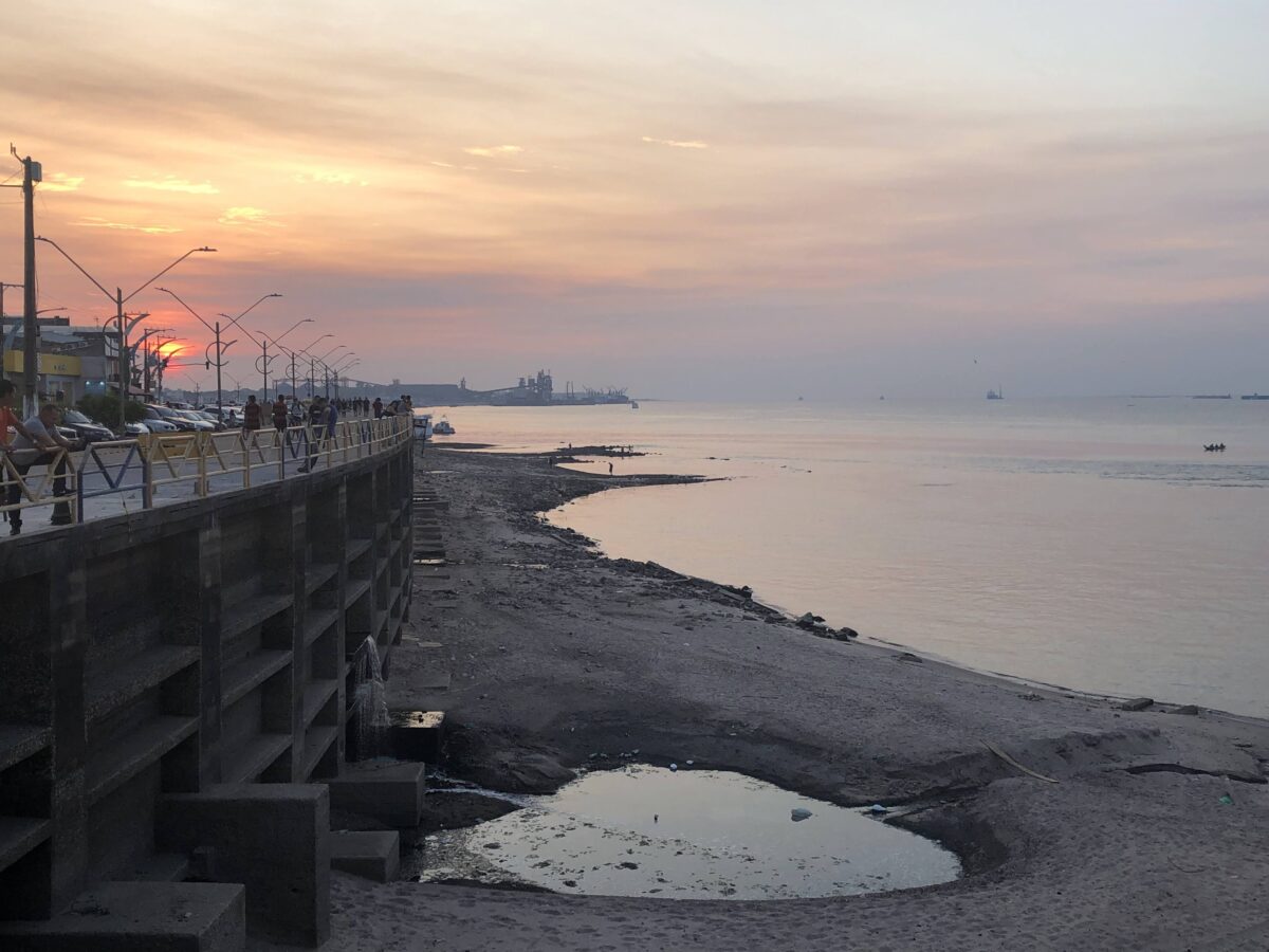
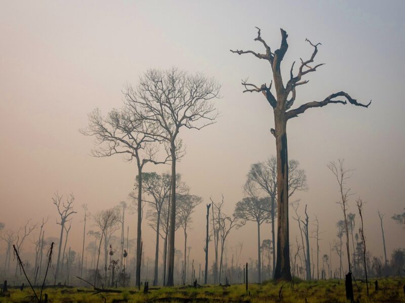
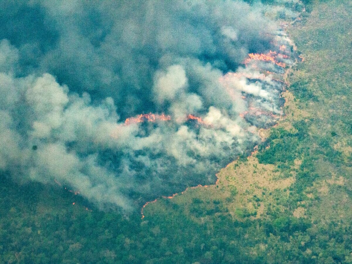
A Whiff of Smoke in the Air. Just a Taste of a Sad Future for the Amazon
On Thursday, October 27, there was a scent of smoke in the air. On the 28th, a bluish haze thickened, and by late afternoon it had turned gray and heavy. The reddish sunset left no doubt: We were enveloped in pure wildfire smoke. Our eyes began to sting, our noses ran. Our clothes and hair […]
Shell affiliate accused of violating Indigenous rights in carbon credit contracts
Indigenous people claim that Carbonext allegedly pressured communities to sign documents with blank sheets. The company denies the accusations and, shortly after allegations of rights violations and non-compliance with international conventions in suspicious contracts on indigenous lands in the Amazon, withdrew from the business.
Colombian companies defy laws, push Amazon carbon projects in Indigenous lands
Without proper consultation, leaders were persuaded to accept a carbon project on indigenous lands in the Amazon, with the promise that the money would fund a university in the villages; Funai (National Indian Foundation) was unaware of pre-contracts and states that negotiations may be annulled.
Sociobioeconomy transforms in the Amazon and recognizes central role of traditional populations for sustainable development
Concept goes beyond the defense of strengthening forest products, and carries the prefix ‘socio’ to show that the way local communities work in the economy in the Amazon, preserving its diversity, is fundamental to sustainable development.
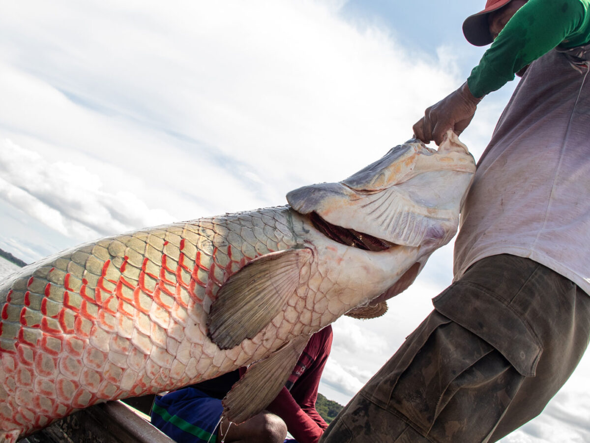
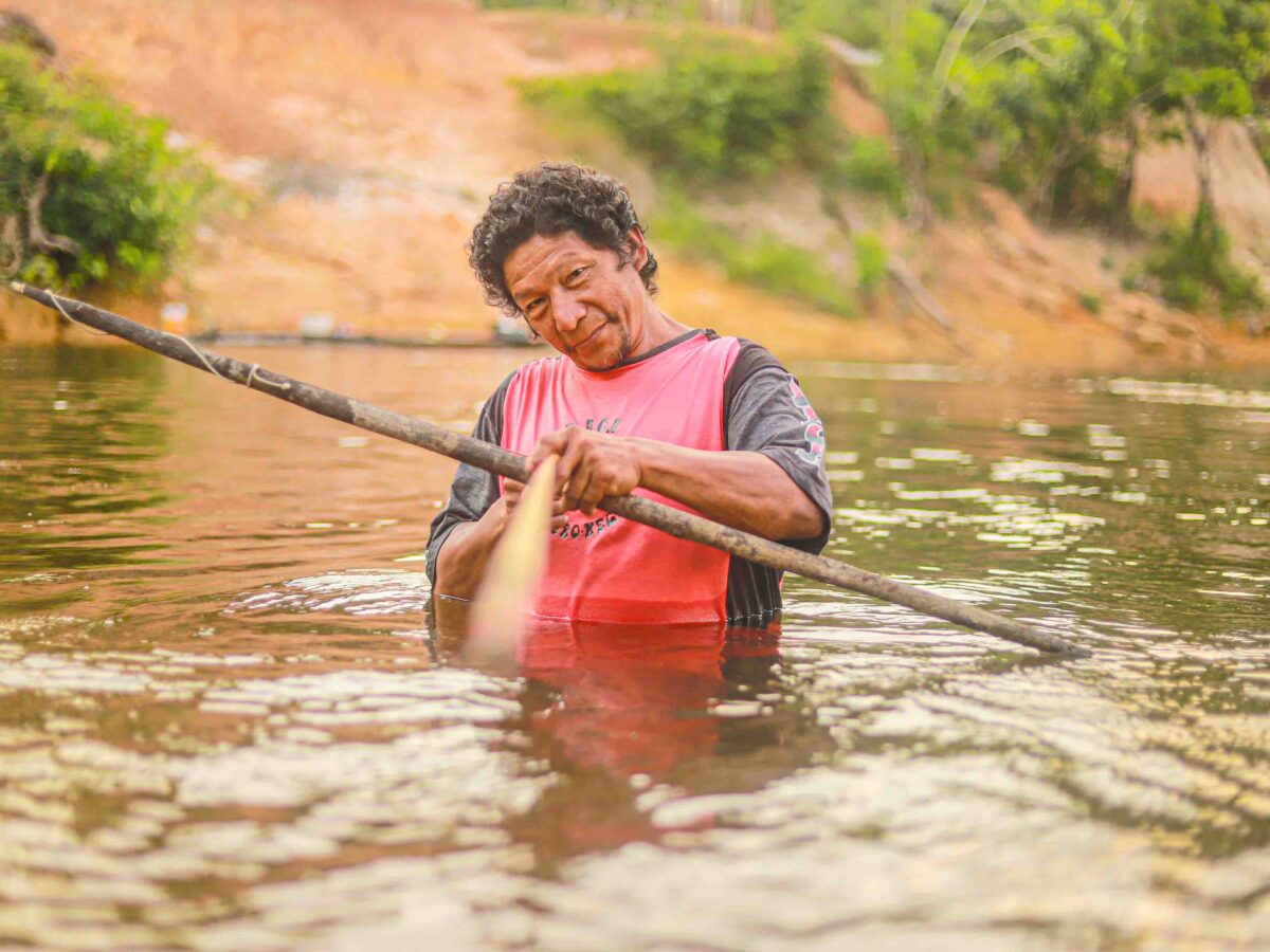
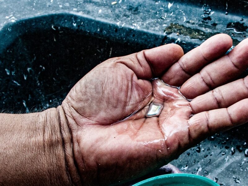
Management of the pirarucu: when science and communities join forces to generate income in the Amazon
Contrary to forecasts made in the 1990s, over 40 areas are guaranteeing the protection of the species without driving the pirarucu to extinction. In addition, sales of the fish provide income to fishermen, who now join a production chain that brings no harm to the Amazonian ecosystem.
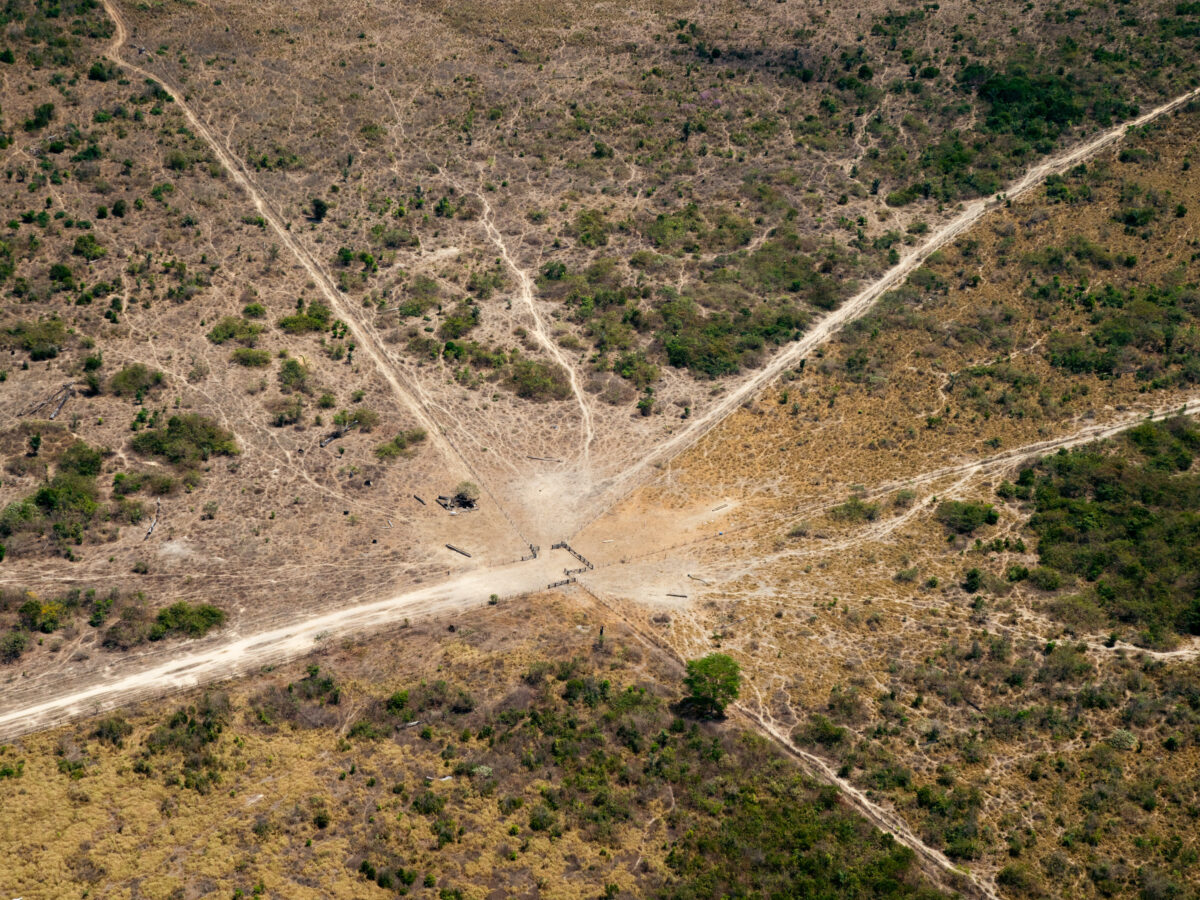
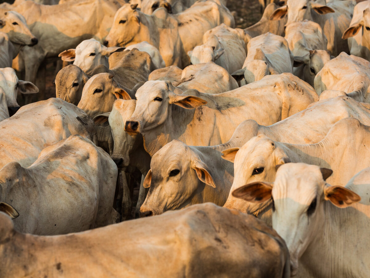
The Day of Fire, three years later: over half of the forest burned in the Amazon has become pasture
In addition to the area targeted for livestock, nearly 40% of the forest affected by the 2019 arson is still unused and was burned ‘for the sake of burning.’
Mining

READ MORE IN SPANISH OR PORTUGUESE
InfoAmazonia provides timely news and reports of the endangered Amazon region. A network of organizations and journalists deliver updates from the nine countries of the forest. Vea la edición en Español or em Português.